Cheating a little, as we are not yet hitting the API.
I did a small piece of work that made use of Michal Migurski‘s Walking Papers a while back, ‘A Watchful State’ is a piece about CCTV and recording their location in urban infrastructure.
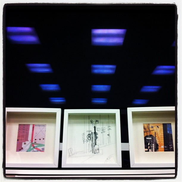
I used one of the Walking Papers in the left hand part of the triptych.
Now, playing with Bookleteer one of the things I want to create is small atlas’ of an area with space for notes and annotations.
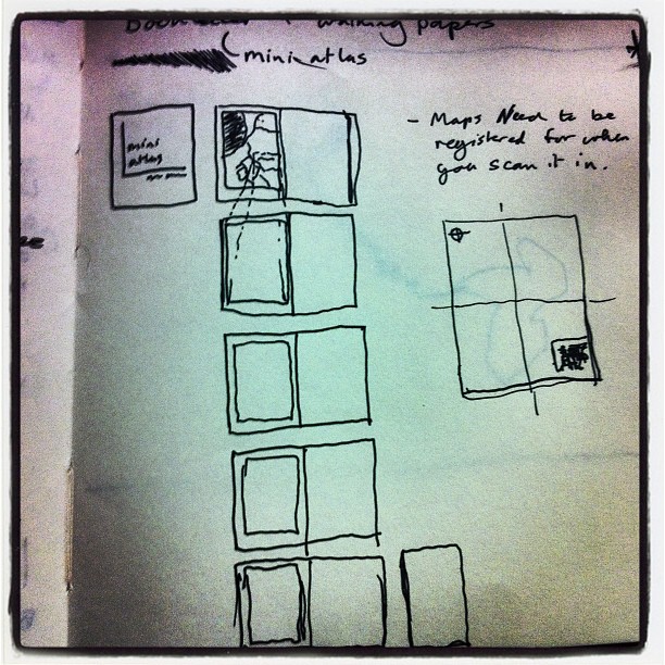
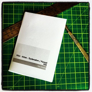
For the first test, I have used the walking papers site to generate a map of an area I am interested in and then manually resized the maps to fit in the Bookleteer page. The resulting atlas has the following:
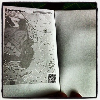
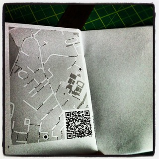
First spread has the full map of the area on the left hand page and a blank page for notes on the right, the next spread has the top left quadrant of the map and a blank. Next is the top right quadrant and so on.
It is not complete yet by any stretch. Walking Papers are far more than just a nice way to print an map for a specific area, they are designed to be scanned back in and help add more information to Open Street Map data.
The main map, whilst it retains the markers to communicate orientation and location of the map has been reduced in size, the other maps are currently just cut ups of this main map, so missing the full registration details.
That said, since Bookleteer is also designed to be taken apart and rescanned in the two should complement each other.
Next step is to create a simple web app that will automatically do the same as above to create your mini atlas.
